Today I had great fun cycling to then around Rutland Water. So a total of 45.60 by the time I got back home. When I got to Rutland Water, I met up with Tristan and his boyfriend Dave. I have known Tristan for year, but not seen him in many years. First time ever meeting his other half. So I then did the Rutland Water section with them both. It was so much fun, hope we can all find the time to do it again at some point :).
I now only have 10.6 miles to go and I will have done the second most ever miles in a single year. Then I only have last years record of 5,066 miles to beat. Can’t see me doing that, since I have to find the time to do another 1,000 miles before the year is out.
I will now leave you with the route map, elevation graph, route statistics and photos.
Route map:-

Elevation graph:–

Route statistics:-
- Distance: 45.60 miles
- Time: 3:43:27 (h:m:s)
- Avg Speed: 12.2 mph
- Max Speed: 31.6 mph
- Elevation Gain: 387 meters
- Min Elevation: 43 meters
- Max Elevation: 128 meters
Data from: Garmin Connect.
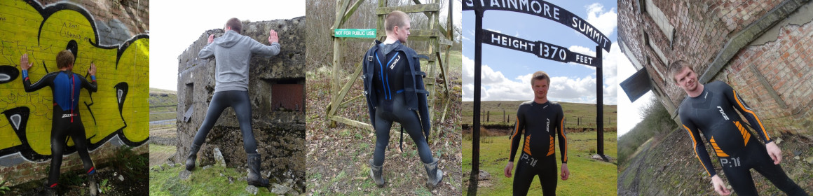
Photos from the cycle:-


Nice one! I managed to do 27 miles today before the wind picked up and brought rain clouds with it!
Still, a nice run during which I managed to up my average speed considerably!