First cycle of 2015, wearing the Rabobank Cycling Team kit! Not even sure, I wore it once last year! But I would need to double check my photos, to be fully sure!


First cycle of 2015, wearing the Rabobank Cycling Team kit! Not even sure, I wore it once last year! But I would need to double check my photos, to be fully sure!
Sorry it’s been a slow news week! Not really been doing much at all, since my bike died on my last week! All going well, should get him back in the next day or so!! Not been out a cycle now since 17th July! The second, I get him back. I will make sure, I get in lots of new cycles! Which of course, will mean lots of new Lycra photos!!
So I will leave you, with photos that were taken on this day back in 2013!


Back in 2007, I had a mate over from the Czech Republic. So I of course had to get him in some of my Lycra!! 🙂


Here are some photos from today’s 30.52 mile cycle. If you love seeing me in white Lycra, I am sure you will more than love these photos!


I can’t believe that these photos date back to 2008! It just about, still feels like yesterday. When Mike, my boyfriend of the time and myself cycling in the Queen Elizabeth Forest Park, while wearing our sexy lycra gear.


Also filmed this short vlog at the same time! Which to date, has had 46,769 views!
Since it was yet another warm day in the UK, I of course had to get my white Lycra back on again!! 😀


Here are some photos from today’s cycle! It was a bit on the HOT side! Was around 27C for most of it!


That was a good cycle! Even found a new road, I’ve always past and never noticed it before! I only did 30 miles, I was hoping to do more. But had to get back to pick a mate up from the train station.
So far this year, I’ve only done 1,056.8 miles. By this time last year, it was 2,730.5. So I am 1,673.7 miles down! On the same point last year! Can’t see me making them number of miles up, before the end of the year! 🙁
I will now leave you with the route map, route statistics and photos.
Route map:-

Elevation graph:-

Route statistics:-
Data from: Garmin Connect.
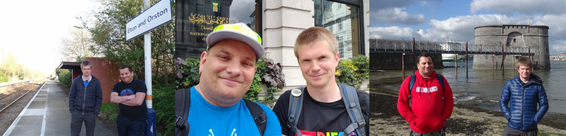
Photos from the cycle:-


Got to love one of my local village names! Yes it really called Bitchfield! Look it up, if you don’t believe me 🙂


It’s a bit bad to think, we’re already half way into 2015 and I’ve only done two 50+ mile cycles! But now, I’ve normally done lots of them! So let’s hope, I have the will power to get many more in!
I will now leave you with the route map, route statistics and photos.
Route map:-

Elevation graph:-

Route statistics:-
Data from: Garmin Connect.
Photos from the cycle:-


