Just done my first 60+ mile cycle of the year!! When I set off, I was going to be happy with just 40 miles. But since I was racing a mate via twitter. I had to keep going. Also I wanted to cover lots of new roads. Which I did! Look at the blue on the map below! I think I will do, most if not all of that route again at some point. When I do first 100+ cycle of the year. Think I will use, lots of it.
I will now leave you with the route map, elevation graph, route statistics and photos.
Route map:-

The dark blue section of the route, shows new roads I covered during the cycle.
Elevation graph:–

Route statistics:-
- Distance: 61.06 miles.
- Time: 4:53:47 (h:m:s).
- Avg Speed: 12.5 mph.
- Max Speed: 31.3 mph.
- Elevation Gain: 1,327 meters.
- Min Elevation: 25 meters.
- Max Elevation: 221 meters.
Data from: Garmin Connect.
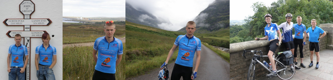
Photos from the cycle:-


