I am so pleased! Did my first 40+ mile cycle of the year! In fact I did 42.25 miles. Which takes my monthly total up to 77.48 miles. Which is not bad for just 3 days into the month!
I also did some more geocaching during the cycle. I found another 6, which takes my total finds up to 240.
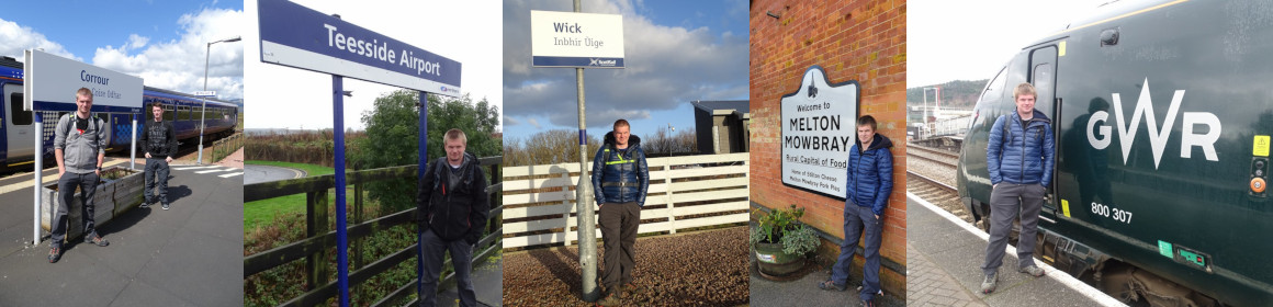
I will now leave you with the route map, elevation graph, route statistics and photos.
Route map:-

Elevation graph:-

Route statistics:-
- Start time: 11:40 am.
- Distance: 42.25 miles.
- Time: 3:44:11 (h:m:s).
- Elapsed Time: 5:26:48 (h:m:s).
- Avg Speed: 11.3 mph.
- Max Speed: 33.2 mph.
- Elevation Gain: 385 meters.
- Min Elevation: 44 meters.
- Max Elevation: 163 meters.
Data from: Garmin Connect.
Photos:-


