Duke’s Pass map
Route map will be posted here soon…
Elevation graph:-
Here soon…
Route statistics:-
- Distance: 36.39 miles.
- Elevation Gain: 697 meters.
- Max Elevation: 238 meters.
Elevation and statistics data from : 11/10/2011 : Garmin connect ID: 120732565
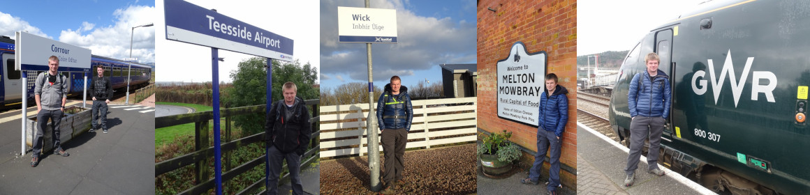
Photos taken during the cycle:-


Added : 16/01/2012 : Updated : 24/04/2020.