That’s December of to flying start cycling wise! Did 40.99 miles. Which may not start a lot. But in the whole of December in the following years I only did:-
- 2004 – 12.9 miles.
- 2005 – 17.6 miles.
- 2006 – 12.1 miles.
- 2007 – 4.5 miles.
- 2008 – 27.1 miles.
So when you look at it that way, 40.99 miles is a good long cycle :).
I will now leave you with the route map, elevation graph and route statistics.
Route map:-

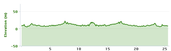
Elevation graph:-

Route statistics:-
- Start time: 1:18 pm.
- Distance: 40.99 miles.
- Time: 3:20:10 (h:m:s).
- Elapsed Time: 3:56:18 (h:m:s).
- Avg Speed: 12.3 mph.
- Max Speed: 27.2 mph.
- Elevation Gain: 639 meters.
- Min Elevation: 28 meters.
- Max Elevation: 142 meters.
Data from: Garmin Connect.


")
")
")
")