It’s a bit bad to think, we’re already half way into 2015 and I’ve only done two 50+ mile cycles! But now, I’ve normally done lots of them! So let’s hope, I have the will power to get many more in!
I will now leave you with the route map, route statistics and photos.
Route map:-

Elevation graph:-

Route statistics:-
- Start time: 2:27 pm.
- Distance: 50.86 miles.
- Time: 3:59:28 (h:m:s).
- Elapsed Time: 5:27:52 (h:m:s).
- Avg Speed: 12.7 mph.
- Max Speed: 38.9 mph.
- Elevation Gain: 486 meters.
- Min Elevation: 46 meters.
- Max Elevation: 155 meters.
Data from: Garmin Connect.
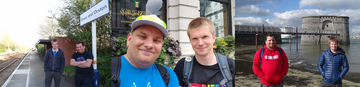
Photos from the cycle:-


