I had great fun cycling from theBytams to Grantham, then back home via Grantham Canal and Woolsthorpe. I love cycling out that way, since I get to use National Cycle Network Route 15 (NCR 15) which runs along next to Grantham Canal for a good number of miles. Also it’s got some good hills, to give my legs a bit of a workout!
I will now leave you with the route map, elevation graph, route statistics and photos.
Route map:-

Elevation graph:–

Route statistics:-
- Distance: 42.05 miles.
- Time: 3:12:55 (h:m:s).
- Avg Speed: 13.1 mph.
- Max Speed: 31.7 mph.
- Elevation Gain: 769 meters.
- Min Elevation: 44 meters.
- Max Elevation: 188 meters.
Data from: Garmin Connect.
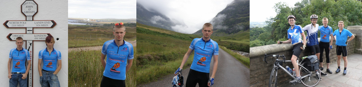
Photos from the cycle:-
")
")
")
")

Brilliant route and some nice pictures too!