Here is yet another cycling vlog. This time filmed at Rutland Water. I am sure you will love this one. Since I am wearing my very, very sexy white Lycra Garmin team kit.
To, then around Rutland Water (longer loop)
This is now the second time so far this year, I have cycled to then around Rutland Water. Last time I did the shorter loop. This time I did the longer loop, which takes in the Hambleton section.
During the cycle I was stopped to record, yet another vlog. Which will be on-line later this evening. I am sure you, will all love it. Since I am wearing my white Garmin kit :).
Route map:-

Elevation graph:-

Route statistics:-
- Distance: 41 miles.
- Time: 3:18:49 (h:m:s).
- Avg Speed: 12.4 mph.
- Max Speed: 26.7 mph.
- Elevation Gain: 482 meters.
Data from: Garmin Connect.
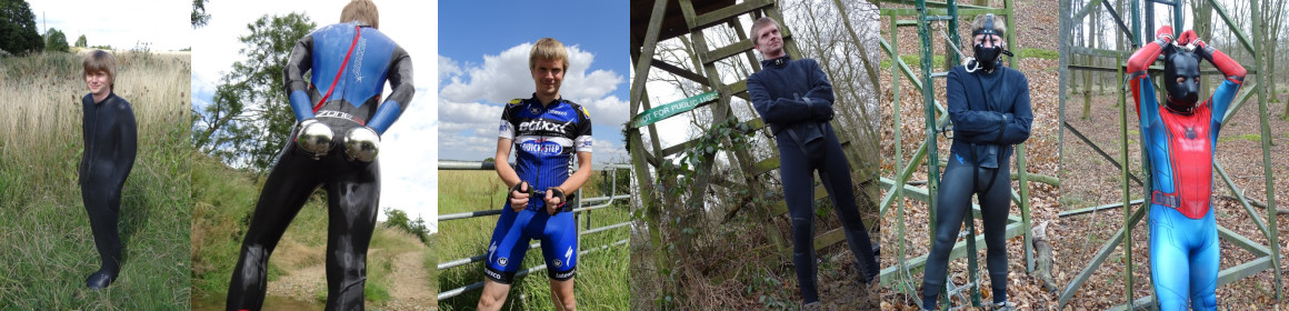
Photos from the cycle:-


