Crow Road loop


Crow Road loop map

View Larger Map
(Opens in new window)

Elevation graph:-

Route statistics:-

  • Distance: 26.34 miles.
  • Elevation Gain: 491 meters.
  • Min Elevation: 68 metres.
  • Max Elevation: 339 metres.

Elevation and statistics data from : 09/10/2011 : Garmin connect ID: 120164781.

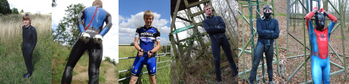
Photos taken during the cycle:-

Taken on the Crow Road (B822)Taken on the Crow Road (B822)Taken on the Crow Road (B822)Taken on the Crow Road (B822)

Page updated : 16/01/2012.

Share

 Leave a Reply

(required)

(required)

You may use these HTML tags and attributes: <a href="" title=""> <abbr title=""> <acronym title=""> <b> <blockquote cite=""> <cite> <code> <del datetime=""> <em> <i> <q cite=""> <strike> <strong>