I this a three county’s cycle. Since I started off in, Lincolnshire, the county I live in. Then ended up in Leicestershire for a bit, followed by Rutland, then back into Lincolnshire.
I covered 27.72 miles, mainly on nice quiet country roads! Which are, of course my favourite type of roads. During the cycle, I even stopped to take some photos and filmed a new vlog!! 🙂
I will now leave you with the route map, elevation graph and route statistics.
Route map:-

Elevation graph:-

Route statistics:-
- Start time: 1:57 pm.
- Distance: 27.72 miles.
- Time: 2:18:09 (h:m:s).
- Elapsed Time: 2:54:55 (h:m:s).
- Avg Speed: 12 mph.
- Max Speed: 35.3 mph.
- Elevation Gain: 250 meters.
- Min Elevation: 56 meters.
- Max Elevation: 163 meters.
Data from: Garmin Connect.
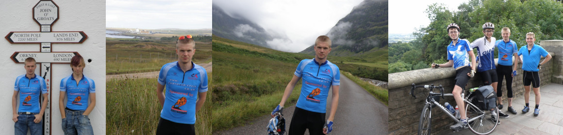
Photos from the cycle:-


